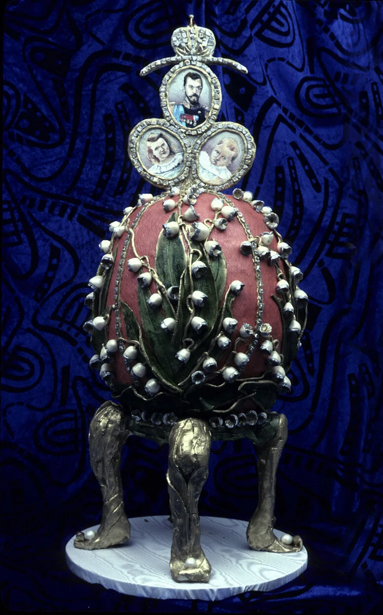
Drawing parallels to personal family history, writer Eric Lucas reflects on the distinction between "the law" and "justice." With a blend of wit and gravity, he challenges the notion that legality always aligns with morality, leaving readers to ponder the complexities of art theft and historical injustices.
All in Current Events
With the War in Ukraine, Everything Has Come Full Circle
With an MA in Soviet Studies and a Ph.D. in Slavic languages and literature, Rachel Mann, who has fought for sovereignty in her personal life, brings a unique perspective to the brutal Russian war of conquest raging in Ukraine.
Close Encounters With The Police
White, college-educated, compliant, and in his late sixties, BJ Stolbov shares his personal experiences with the police and why cops scare him.
A Road Trip During the Coronavirus Pandemic: Is it a good idea?
Compelled by necessity, Carolyn Handler Miller and her husband, Terry, set off for California from Santa Fe, New Mexico, with the coronavirus still gripping the country. Finding themselves in an unpredictable new world, they returned home safely and wiser, but would they do it again?
Traveling Through Time and Space Without Going Anywhere
Elyn Aviva decided that culling her computer contact list would be a productive Corona project. Easy, right? In theory perhaps, but the reality wasn’t quite the cleanup she’d anticipated.
Let Them Eat Cake
Like many people during this pandemic, Cliff Simon has been baking. Baking cakes has been a lifelong pleasure but under the lens of quarantine, baking and sharing have taken on new meaning and revealed new insights.
A Letter From Lockdown in Santa Barbara, California
Homebound with some time on her hands during the COVID-19 pandemic, Melissa Devor, reaches out from Santa Barbara, California, to share what’s happening in her world.
From the Bottom of Africa
Rinki Cohn proudly reports from South Africa about how the country, with just a fraction of the resources of a lot of countries, has successfully flattened its COVID-19 curve and how leaders there are really trying to do the right things.
A Viral Pilgrimage
Elyn Aviva has spent more than half of her life going on, studying, or writing about pilgrimage—specifically, the pilgrimage to Santiago de Compostela. Today, as she adjusts to the disorientation of isolation, she poses the question: Could it be that like a pilgrimage, this pandemic offers an opportunity to journey inward and engage in deep self-exploration?
Staying Home During Coronavirus COVID-19 In 25-word Short Stories
Each one of us is adjusting to the new normal of social distancing and self-isolation in different ways. We thought we’d open a door to the private lives of our writers, so you can see what they are feeling and thinking and doing —expressed in 25 words or less.
Lipstick Kisses, Chewing Gum and Terrorism in Paris
For expat Keith Digby, the tragedy of the French terrorist attacks turned unexpectedly personal during a visit to Père Lachaise Cemetery, Paris' best-known resting place.
The Horror Of Hiroshima
Executive editor Judith Fein went to Hiroshima, Japan, where the first nuclear bomb was dropped. As nuclear threats are once again appearing in the news cycle, Fein reminds us about what a nuclear bomb and its aftermath were really like.
Peace for Honduras
Three weeks after the presidential election in Honduras, a winner had yet to be announced and tensions were high as the country plunged into political crisis. In this essay, expat Jill Dobbe reports on living in a country in chaos and what it means for the strong and resilient Hondurans who pray for peace.
Surviving the Sonoma County Fire and How You Can Help
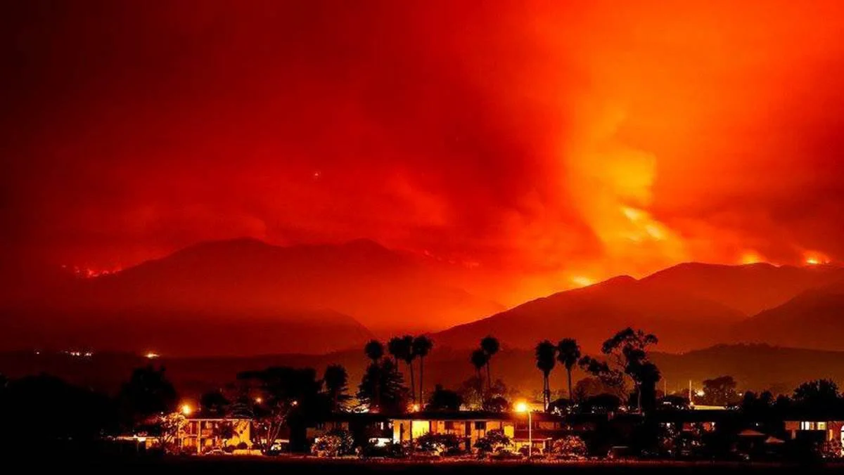
Early Monday morning on October 9, 2017, Katya Miller was roused from bed and evacuated from her Sonoma County home by raging wildfires. She takes you with her on her frightening journey, and tells how you can help.
Fleeing Catalonia
For Elyn Aviva, an American expat living in Catalonia, the Spanish government's heavy-handed response to the October 1st Catalan independence referendum ignited a complex emotional turbulence and the decision to temporarily flee Catalonia.
No Music in Paris
When Jennifer Shanahan’s trip to Paris for a music-themed family getaway was silenced by a terrorist attack, a small group of street musicians served to momentarily dissipate the sadness, confusion, and fear surrounding the horrific event.
Brexit: A View from Inside England
American expats, Gary White and his wife Elyn Aviva traveled from Spain to the UK for a vacation and found themselves in the middle of a festival and the big Brexit vote and aftermath.
We Are All Immigrants
As an American expat teaching English in high schools and universities in the Philippines, YourLifeIsATrip.com contributor BJ Stolbov's students often ask him, “What makes Americans American?” Learn why it's a question that he finds difficult to answer as America becomes increasingly socially and politically divisive and discover how his answer is still one that unites.
Typhoon Yolanda: “The Storm of the Century” and more to come
by B.J. Stolbov
[Author's Note: Typhoon Yolanda, also known by its international name of Typhoon Haiyan, hit the Philippines on November 7, 2013. In honor of the dead and missing, I will use its Filipino name, Yolanda.]
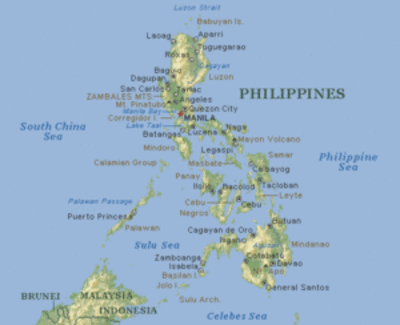
The Philippines are surprisingly long. They may look like just a bunch of specks (7107 islands) at the end of the Pacific Ocean, but from the Batanes Islands beyond the end of Luzon Island in the north to the Tawi-Tawi Islands at the end of Mindanao Island in the south, the Philippines are long (1,150 mi.). They are almost as long as west coast of the U.S. from Seattle to San Diego (1,293 mi.). Because of its length, its many islands, and its moving ocean currents, the weather can change considerably from island to island, even from the exposed windward side to the more protected leeward side of any island.
Here, in Northern Luzon, we are protected from typhoons by the mountains. For a typhoon to hit us directly, it has to come in from the southeast, low off the water, through the beaches and lowlands of Aurora, then up the Cagayan Valley, and then into the hills and mountains. This is what we call a "low" typhoon.
Typhoon Labuyo, “the storm of the year” at that time, hit us on August 12 in Quirino. It came in “low,” knocked down all the corn, just before harvest; and all the bananas, which will grow back on their own in nine months. It flooded all the rice paddies, but rice is used to water. Lots of crops and houses were destroyed, but, thankfully, no deaths.
by Elyn Aviva
Welcome to Ynys-witrin, the Island of Glass, AKA “Glasto,” thriving spiritual theme park for the New Age, neo-pagans, witches, traditional Catholics, Anglicans, Buddhists, Hindus, Methodist church ladies, sound healers, shamanic journey-ers, light therapists, Arthurian aficionados, Isle of Avalon pilgrims, holy-well-water visitors, Grail seekers, and recovering addicts. If that makes your head buzz, it should. And that ain’t the half of it.
 Glastonbury Park 2013. Photo by jaswooduk.
We had decided to spend a month in Glastonbury. It had seemed like a good idea at the time—which should have been a warning signal. A month in Glastonbury? A town where every time we had visited for a few days we shook our heads and said, “NOT a place to stay for very long! Too intense, too ungrounded…” But somehow, in a moment of inspired weakness, it seemed like a good idea. Get away from our apartment in Girona (Catalonia, Spain) where we couldn’t seem to get away from work. Rest and relax in a rural Somerset town where we could go for gentle walks up to the scenic tower on top of the 500-foot high, dragon-backed Tor hill, or visit the lush and lovely Chalice Well Gardens, or stroll through the extensive grounds of the ruined but still evocative Glastonbury Abbey.


